Transport for Wales Bus Network Modelling
Case Study
Project Overview
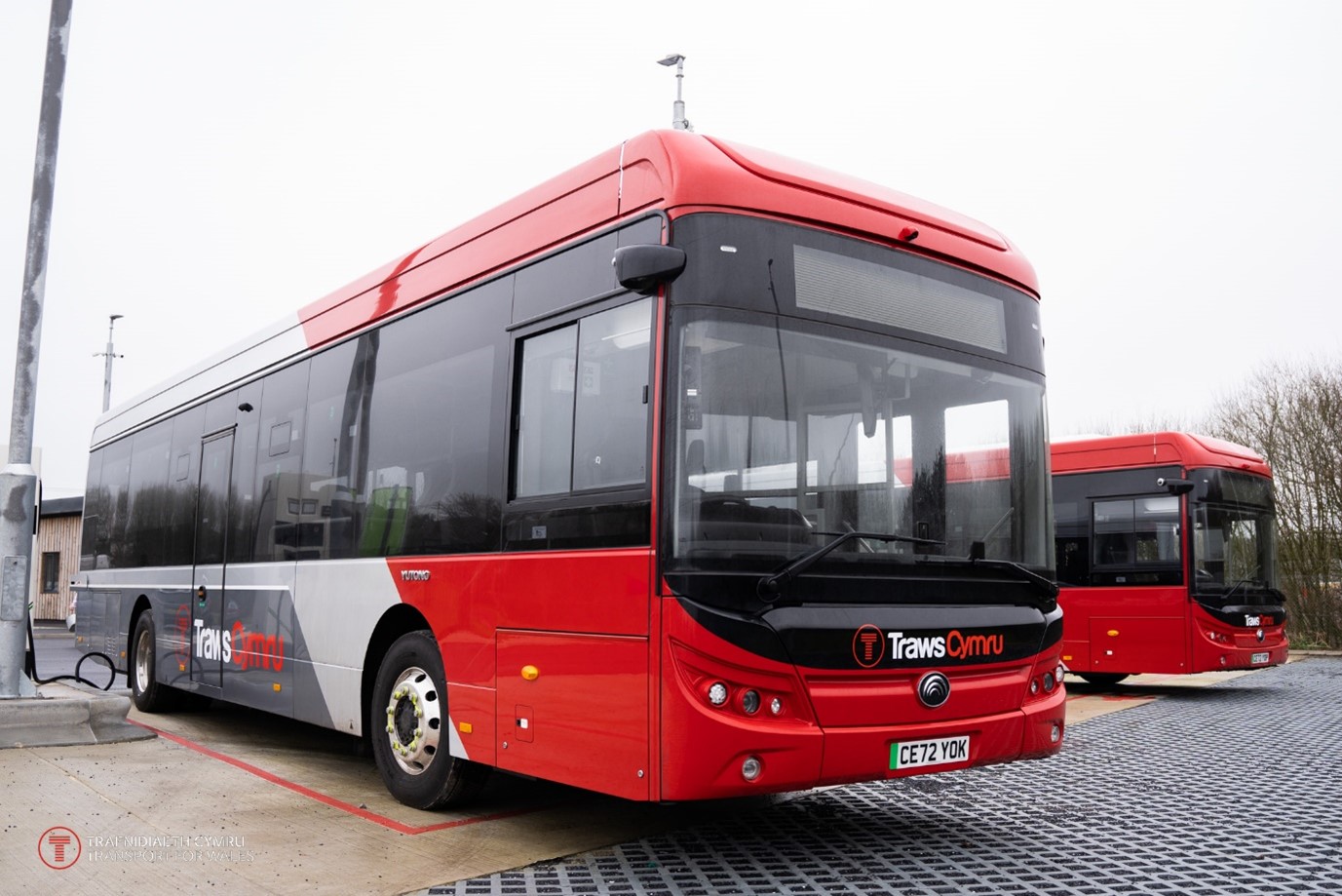
Transport for Wales (TfW) approached Cenex to model their long distance TrawsCymru bus network. Cenex built a bespoke model to simulate how electric buses would operate within the bus network and predict where electric bus charging equipment may be required at depots based on the location of termini across the bus network. This model was provided to TfW to utilise for further network mapping, having used the TrawsCymru network as a proof-of-concept.
The Challenge
There are a significant number of long distance and local stopping bus services throughout Wales which all require decarbonisation to meet the Welsh Government’s ambitions. This presents a challenge of where to place charging infrastructure to ensure electric buses can operate and charge up to enable them to be considered as an option for decarbonisation.
The Development
TfW requested that Cenex model the Traws Cymru long distance bus network to begin identifying where charging facilities would be needed based on the driving range of electric buses and the lengths of the bus routes. Cenex built a model to take the inputs of termini locations and route lengths and, based on the quoted range of at-market electric buses, model the ability for electric buses to operate each route. This modelling exercise even considered the topography of each route, accounting for the additional energy required for electric buses to operate on more hilly routes.
It was requested by TfW that the model be built in such a way that it could be used for further modelling of the local stopping services. It was constructed by Cenex to be able to run on almost any computer and output a file in a format that could be easily imported into all mapping software. The model was designed to obtain and provide the latitude and longitude values for each electric bus charging location to enable the mapping software to generate points on the map. The model was also designed to determine “dead mileage” around each potential charging location and map this as an isochrone that provides the area within which the electric bus charging facility could be located. Having developed an interactive GIS tool to map these outputs, TfW are able to observe where multiple isochrones overlap, and hence identify locations where a single electric bus charging facility could be used by electric buses from several routes to achieve cost savings.
The Result
Transport for Wales received the model with guidance on how to run it with further outputs alongside guidance and test runs for the mapping and isochrones. This allowed them to select which buses would be run on each route and begin inputting further routes to build up the picture of required charging infrastructure throughout Wales.
Funder:

Key Skills:
- Model building
- Utilising popular software to create models that can be run without specialist software